Weather Whiz: New Pilot's Guide to Forecasting
When it comes to aviation, there are no jokes about the weather. Some pilots consider pointing to the sky a gesture of bad luck—because in the world of flight, the sky holds more than just clouds. It carries the power to make or break a journey.
For pilots, weather isn’t just an external condition; it’s a central player in every flight decision. Whether you’re navigating around storm cells, planning an efficient route with tailwinds, or calculating safe crosswind limits, weather mastery is non-negotiable. Real pilots don’t just read forecasts — they become their meteorologists.
Why? Because the stakes are high. Weather can be unpredictable, and a lack of preparation can quickly escalate into a safety risk. Understanding weather reports and interpreting atmospheric patterns isn’t about luck; it’s about building competence and confidence.
This guide will help you take the first step in mastering aviation weather. Ready to look up at the sky—not in fear, but with clarity and skill? Let’s get started.
Key Concepts of Aviation Weather Theory

Weather theory involves the study of temperature changes, fog, wind, clouds, thunderstorms, and other weather hazards. It gives pilots a solid understanding of what to monitor while flying and explains the underlying reasons for these phenomena.
Understanding aviation weather starts with a simple question: What creates weather? Ask most pilots, and they’ll confidently answer: “Uneven heating of the earth’s surface.” But what does that mean when you’re planning a flight? To decode this, we need to break weather down into its three fundamental elements:
Temperature: The measure of heat energy in the air (warm or cold).
Wind: A vector defined by both speed and direction.
Moisture: The amount of water vapour in the air, also known as humidity.
These elements combine to form the complex patterns we call weather. For instance, uneven heating — such as the sun warming land faster than water — drives temperature differences that support the development of low-pressure systems. These systems, in turn, often come with fronts: boundaries between air masses with contrasting temperature, wind, and moisture profiles.
Explore key subtopics & core concepts of the Meteorology ATPL Syllabus
Low-Pressure Systems and Fronts: A classic Northern Hemisphere low-pressure system is an excellent example of how these elements interact. Air circulates counterclockwise around a low-pressure system, carrying moisture and temperature variations across vast areas. Associated cold and warm fronts mark zones where these air masses meet, creating changes in wind direction, temperature shifts, and sometimes turbulent conditions.
As a pilot, seeing the location of low-pressure systems in your route can offer invaluable insight into potential weather challenges. For example:
Is there a cold front ahead? You might face gusty winds and possible turbulence.
Is warm, moist air flowing into your route? Reduced visibility or thunderstorms could be a concern.
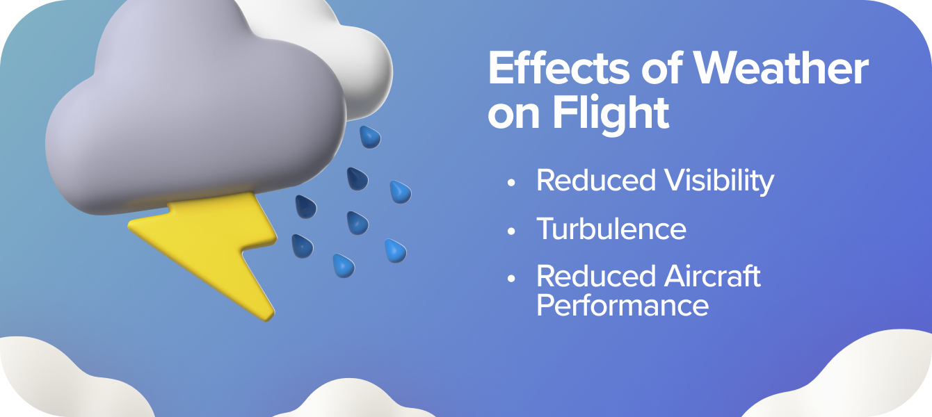
3 Effects of Weather on Flight
While the combinations of temperature, wind, and moisture are nearly infinite, they typically impact pilots in three key ways:
Reduced Visibility: Fog, haze, or precipitation can obscure your view.
Turbulence: Air instability caused by temperature and wind changes can lead to a bumpy ride.
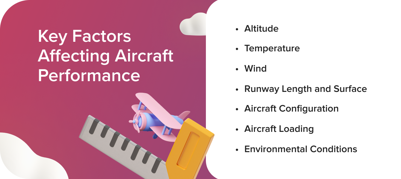
Reduced Aircraft Performance: High humidity, low air pressure, or extreme temperatures can degrade engine and aerodynamic efficiency.
Practical weather evaluation is not about memorising data; it’s about applying this knowledge to anticipate and mitigate risks. Knowing the fundamental role of temperature, wind, and moisture—and how they work together—gives you the foundation to interpret forecasts and make informed flight decisions confidently.
Explore key subtopics & core concepts of the Aircraft Performance ATPL Syllabus
Essential Weather Reports for Beginner Pilots
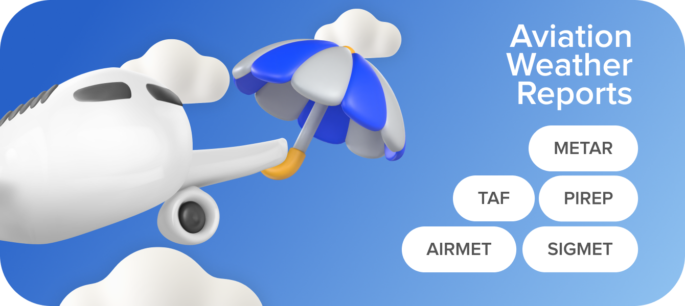
When it comes to aviation weather, there are two key concepts to understand: weather theory and weather products. While weather theory explains the principles that create weather phenomena, weather products are the practical tools pilots use to observe, forecast, and plan around those phenomena.
Weather forecasts rely on models, such as the Global Forecast System (GFS) or the European Centre for Medium-Range Weather Forecasts (ECMWF) (often called the “Euro model”). Different models may perform better under specific conditions, regions, or seasons. For instance, the ECMWF is particularly robust for Europe, while others, like the ICON or NAVGEM, may excel in unique scenarios.
Building your weather knowledge for student pilots in Europe and the UK starts with mastering the key aviation weather products that deliver the most relevant, real-time data. Let’s break them down:
METARs
A METAR (Meteorological Aerodrome Report) is a real-time observation of current weather conditions at a specific aerodrome. Updated hourly (and more frequently in rapidly changing conditions), METARs provide essential information, including:
Wind speed and direction.
Visibility and cloud cover.
Temperature, dew point, and pressure.
Weather phenomena like precipitation or fog.
Example: EGLL 121350Z 27015KT 9999 BKN020 12/08 Q1012 NOSIG Decoded, this tells you that at London Heathrow, the wind is 15 knots from 270°, visibility is over 10km, the temperature is 12°C, and there are broken clouds at 2,000 feet.
METARs are a student pilot's bread and butter, offering a clear snapshot of the weather at departure, destination, and alternate airports.
TAFs
A TAF (Terminal Aerodrome Forecast) is your guide to the expected weather in the next 24–30 hours for major aerodromes. Unlike METARs, which reflect current conditions, TAFs allow you to plan your flight with future weather in mind.
Example: EGLL 121700Z 1218/1318 28012KT 9999 SCT020 This TAF forecasts conditions at Heathrow, predicting 12-knot winds from 280°, good visibility, and scattered clouds at 2,000 feet during the stated period.
TAFs include updates for significant changes, such as deteriorating visibility or strengthening winds, giving
you a heads-up about potential adjustments to your route or timing.
PIREPs
PIREPs (Pilot Reports) are real-time weather observations submitted by pilots in the air. These reports are invaluable for understanding conditions that may not be fully reflected in METARs or TAFs, such as turbulence, icing, or cloud tops.
As a student pilot, reviewing PIREPs in your area can give you a richer understanding of the actual conditions en route.
Advisories: AIRMETs and SIGMETs
AIRMETs provide warnings about moderate weather hazards, such as turbulence, icing, or mountain obscuration.
SIGMETs warn of severe hazards, like thunderstorms, heavy icing, or volcanic ash, that could affect all aircraft.
Both are critical for understanding broader patterns of hazardous weather along your route.
Navigate the challenges of winter flying. Read Winter Flying: Tips to Handle Specific Challenges for expert advice.
Main Weather Sources

All aviation weather data originates from core sources: satellites, radars, weather stations, and rawinsondes. The tools you use — aviation weather apps, local weather services, or online platforms — are simply different interpretations of this shared data.
Effective weather evaluation comes from consulting multiple reliable sources. Use radar and satellite imagery to observe patterns, cross-reference METARs and TAFs for specific locations, and integrate this data with broader insights from weather maps and models.
Radar, Satellite, and Weather Maps
Radar and satellite imagery provide real-time insights into weather patterns. Weather maps, such as mean sea-level pressure charts, highlight highs, lows, troughs, and fronts, helping you visualise the forecast and its causes.
National Weather Services
The UK Met Office Aviation Weather Service provides critical weather information for civil aviation, including observations, forecasts, warnings, and advisories. These services adhere to ICAO and WMO standards, ensuring consistency and reliability across international operations.
Graphical Area Forecasts (GAFs)
GAFs combine graphical and textual information, providing an overview of weather conditions across regions with shared characteristics.
Grid Point Wind and Temperature Charts
These charts offer forecasted wind speed, direction, and temperature at specific altitudes above sea level, presented in a gridded format.
Electronic Flight Bag (EFB) Tools
Apps like SkyDemon and ForeFlight integrate aviation weather data directly into flight planning tools. Familiarise yourself with their features, including graphical visualisations, and be aware of limitations such as data validity times.
To make sense of the endless stream of weather data, focus on how the current and forecast conditions will affect these three factors:
Visibility along your route and at your destination.
Turbulence in areas of changing wind or near fronts.
Aircraft performance under varying temperatures and moisture levels.
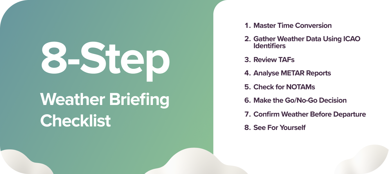
Your 8-Step Weather Briefing Checklist
As a new pilot, mastering the basics of a weather briefing is essential for both your safety and the success of your flight. While your instructor may often take the lead in cancelling lessons due to poor weather, developing the ability to independently assess weather conditions is a critical skill every pilot must acquire.
Improve your flight training efficiency. Read Pilot in the Making: Mastering Flight Training for expert tips and best practices.
This Weather Briefing Checklist is designed to support you with the practical steps for conducting a basic weather briefing, along with tips tailored to local aviation needs.
1. Master Time Conversion
Aviation weather reports use Coordinated Universal Time (UTC), requiring pilots to convert UTC to local time. In the UK:
During winter (Standard Time), UTC matches local time.
During summer (British Summer Time), local time is one hour ahead of UTC.
Be precise in your conversions, as even small errors can affect flight planning accuracy, especially when interpreting weather updates for specific departure or arrival times. Use apps or your Electronic Flight Bag (EFB) to automate time zone conversions.
Enhance your flight training with these 14 essential apps. Read Digital Flight Bag: 14 Handy Apps for Student Pilots.
2. Gather Weather Data Using ICAO Identifiers
To access aviation weather information, use the ICAO identifier for the aerodromes involved in your flight. In the UK and Europe, these typically begin with "EG" (e.g., EGLL for London Heathrow or EGCC for Manchester). For cross-border flights in Europe, familiarise yourself with regional identifiers (e.g., EHAM for Amsterdam or LFPG for Paris Charles de Gaulle).
Save ICAO codes for your home base, nearby alternate aerodromes, and destinations to quickly access weather updates.
3. Review Terminal Aerodrome Forecasts (TAFs)
Cross-check TAFs for your departure, destination, and alternate aerodromes. Pay attention to changes in the forecast during your planned flight, such as deteriorating visibility or shifting winds.
Conquer the wind with confidence. Read Taming the Wind: Crosswind Landings Explained to improve your crosswind landing skills.
4. Analyse METAR Reports
METARs deliver real-time weather observations and are essential for validating current conditions against the forecast. For example, if the METAR shows 10 knots of crosswind at your destination, ensure it’s within your aircraft and personal limits before departure.
5. Check for NOTAMs and Airspace Restrictions
In the UK and Europe, NOTAMs (Notices to Airmen) often contain information about temporary airspace restrictions or hazards. Check for Temporary Flight Restrictions (TFRs), typically marked on navigation tools, which could affect your planned route.
6. Make the Go/No-Go Decision
After reviewing the weather data:
Compare the conditions against your aircraft's performance limits.
Consider your experience level and personal minima for wind, visibility, and ceiling height.
Account for alternate aerodromes and escape options in case conditions deteriorate en route.
Always run on the side of caution. A conservative approach to weather decisions is particularly critical for new pilots.
7. Confirm the Weather Before Departure
If you're uncertain about the weather, it’s always a good idea to contact someone at your destination by phone or radio for live updates. Avoid calling too far in advance, as weather conditions can change rapidly — especially in variable climates like the UK. This step is not for initial flight planning but to confirm the decisions you’ve already made.
On the day of your flight, perform a final weather check to ensure conditions remain favourable. Adjust your departure time if necessary to avoid deteriorating weather or to take advantage of optimal tailwinds. Many airports also have live weather cameras, which can provide useful reference points. However, these should only serve as supplementary tools and never replace official weather reports or forecasts.
8. See For Yourself
Before flying, always take a moment to assess the weather directly. Look out the window and observe the sky—it’s a valuable habit that complements official reports. During your flight, continue to monitor the weather and compare it to the forecast.
Sometimes, the forecast will align perfectly with what you observe, but occasionally, conditions might differ. This is why your personal observations are crucial.
That said, always prioritise official weather reports and forecasts. For example, if local conditions appear clear but a storm is forecasted en route, it’s wise to reconsider your plans. Observing the weather is a helpful additional tool, but it must never override the critical information provided by official sources.

FAQs About Weather Forecasts for Pilots
What is aviation forecasting? Aviation forecasting provides weather information tailored to aviation needs, focusing on conditions that impact flight safety, such as visibility, turbulence, and winds.
What's the difference between TAF and METAR? A METAR reports current weather conditions, while a TAF forecasts weather for the next 24–30 hours at an aerodrome.
What are the 3 types of aviation weather briefings?
Standard: A full briefing for pre-flight planning.
Abbreviated: A focused update to supplement prior briefings.
Outlook: A preliminary forecast for flights departing in 6+ hours.
Is a SIGMET a forecast? Yes, a SIGMET provides forecasts for significant weather hazards like severe turbulence, icing, or thunderstorms.
What are the best resources to learn METARs and TAFs? Use tools like the UK Met Office Aviation Weather Service, Eurocontrol's weather resources, and practice with EFB apps like ForeFlight or SkyDemon.
How often should pilots check weather updates pre-flight? At least twice: during initial planning and again just before departure. Recheck frequently for changing conditions, especially in unpredictable climates.
How to handle conflicting weather reports? Prioritise the most recent and reliable sources, such as METARs and TAFs, and consult your instructor or experienced pilots if unsure.
When should you cancel or delay a flight due to weather? If conditions exceed your personal or aircraft limits, visibility is poor, or severe weather like thunderstorms or strong winds is forecasted, it’s safest to cancel or delay. Always err on the side of caution.

Airhead's Takeaway
Next time you check the weather, don’t just look at the numbers. Figure out how these elements interact, trace the fronts, and make assumptions about how the conditions will impact your visibility, turbulence, and performance.
If you’re unsure about the weather or its implications for your flight, always seek advice from a flying instructor or an experienced pilot.
As you gain experience, your ability to assess and adapt to weather will become second nature. Until then, practice regularly, consult multiple sources, and don’t hesitate to ask for guidance. The more informed you are, the better your decisions will be in the ever-changing skies.


